CCI employs professionals who are well versed in using powerful software.
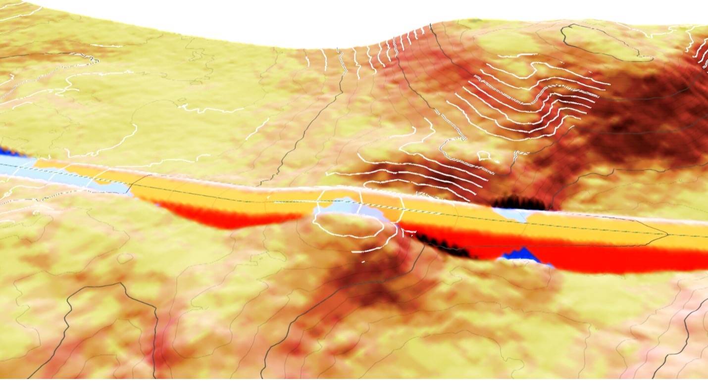
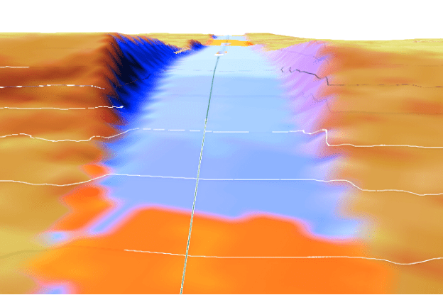
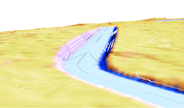
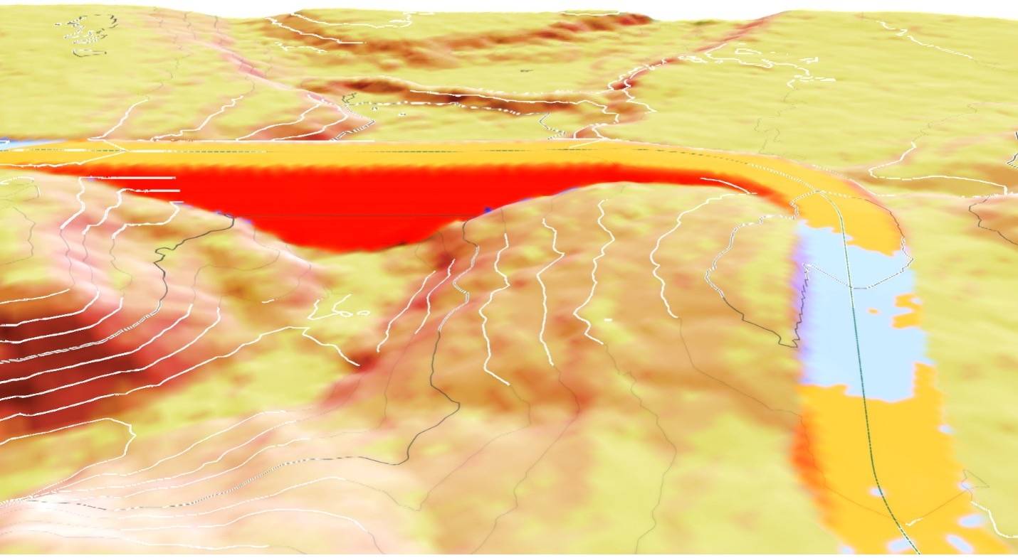
Using ArcGIS ESRI, CCI can layer critical information into detailed maps providing our clients with strong visual information necessary for Terrain Stability Analysis (TSA), Geohazard Susceptibility Assessments, and Terrain Mapping. Utilizing 3D modelling techniques, we develop realistic models of large areas to assess the terrain stability and geology or cut and fill volumes for construction of various infrastructure.
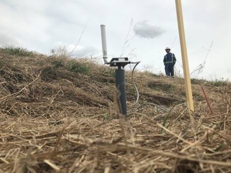
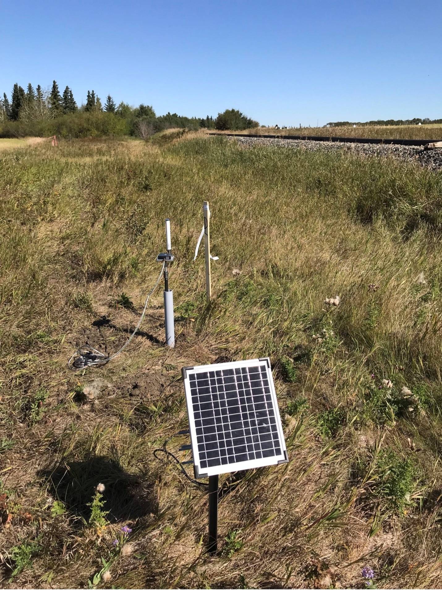
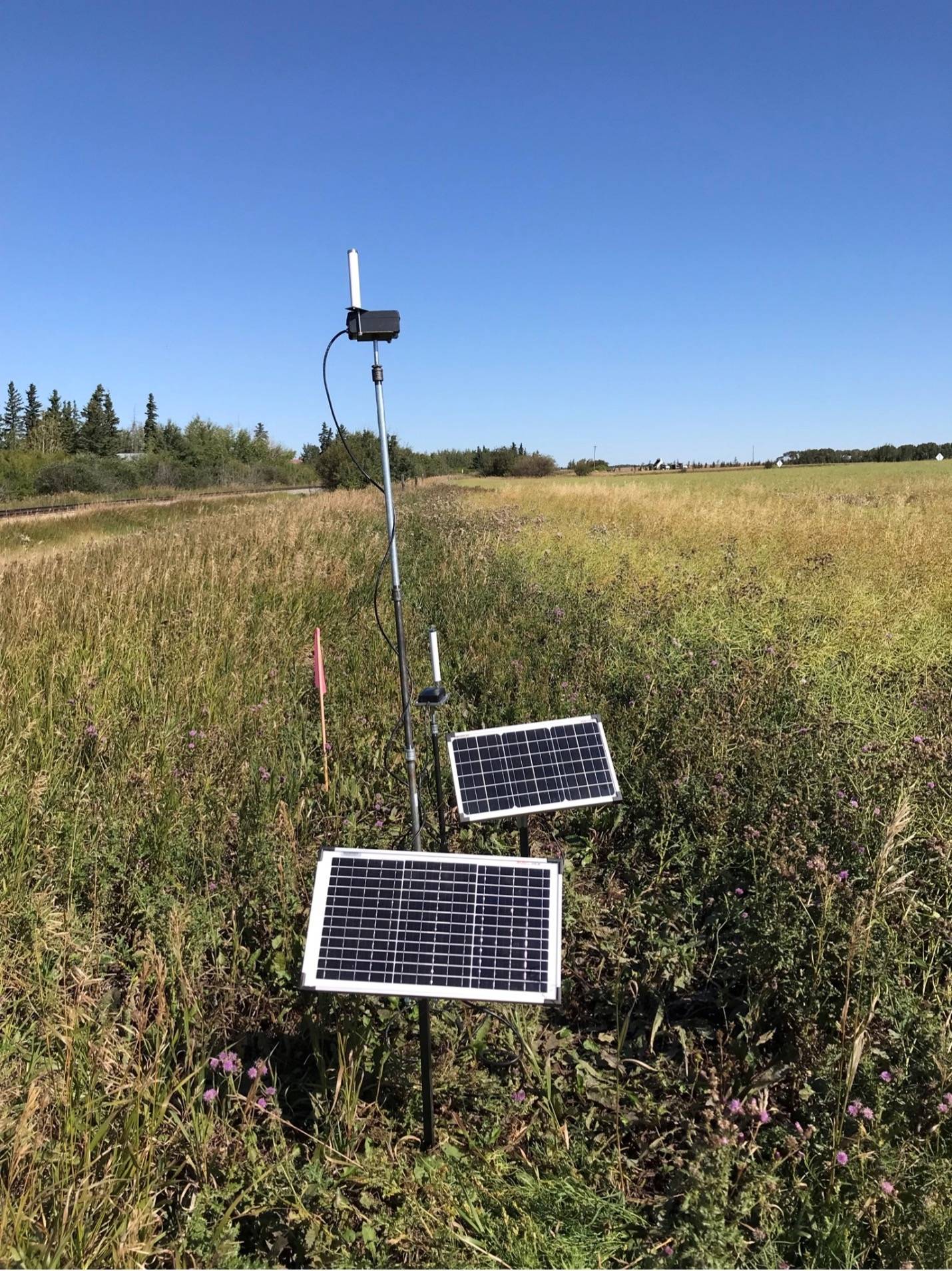
CCI supplements the strong CAD and ArcGIS-based service with installation and remote monitoring of instrumentation to assess potential geohazards.
Services include:
- Georeferenced maps, alignment sheets and drawings (GIS and CAD)
- Spatially referenced field data collection applications
- Web mapping software that allows clients to see live locations of people, equipment and progress
- 2D and 3D visualization products
- Field instrumentation installation and remote monitoring.