Terrain Mapping is completed utilizing publicly available data or background information provided by the client to provide a desktop assessment of the surface and subsurface conditions in a defined area.
Generally, the scope includes the following:
- Delineation of landforms, soil types and soil characteristics, with a focus on the extent of organic deposits and depths to bedrock.
- Identification of wetland/muskeg areas where there is potential for organic deposits to be deeper than the spring line of the pipeline, resulting in loss of support.
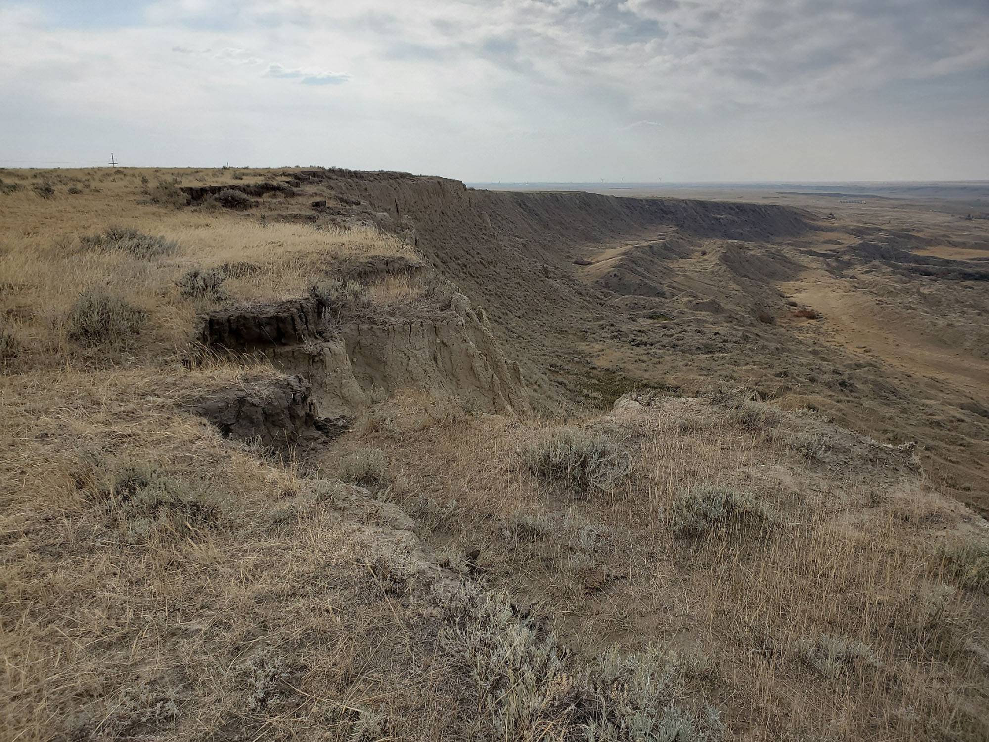
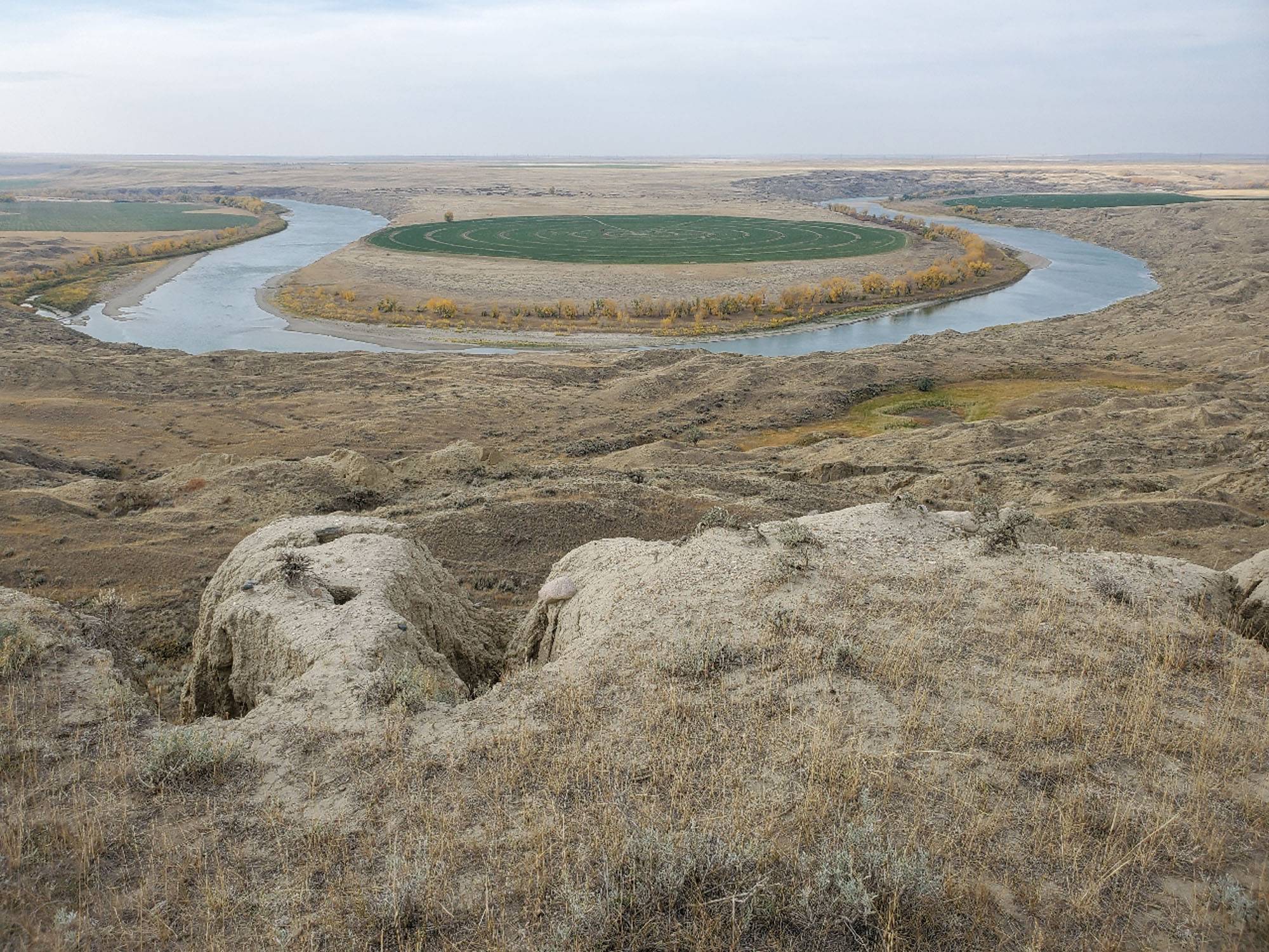
- Review of slope conditions and identification of areas of potential slope instability (landslides).
- Classification of drainage conditions within the mapped terrain units.
- Recommendations for terrain features discovered that may influence pipeline placement
In addition, the terrain mapping desktop assessment can be confirmed during a phase 2 program where field sampling using hand drilling methods or CCI’s in house side by side mounted drill rig is completed.
The Preliminary Geohazard Assessment is intended to identify any credible geohazard threat to the pipeline and above-ground infrastructure and assign a preliminary hazard rating. Depending on the physiographic setting of a particular project, general geohazard categories considered for screening may include:
- Slope instability hazards (e.g., landslide, rockfall, etc.)
- Seismic or tectonic hazards (e.g., fault displacement, soil liquefaction, etc.)
- Hydrotechnical hazards (e.g., scour, flooding, etc.)
- Erosion hazards (e.g., rainfall erosion, wind erosion, etc.)
- Ground subsidence hazards (e.g., soil settlement, mining-induced deformation, etc.)
- Exposed rock, geochemical and related hazards (e.g., rock indentation, acid rock drainage, etc.)
- Permafrost and thermal hazards (e.g., frost heave, thaw settlement, etc.)
- Volcanic hazards (e.g., lahar, pyroclastic flow, etc.)
The geohazard assessment provides a framework for the hazards along the pipeline route and may be incorporated into the owner pipeline integrity management plan.
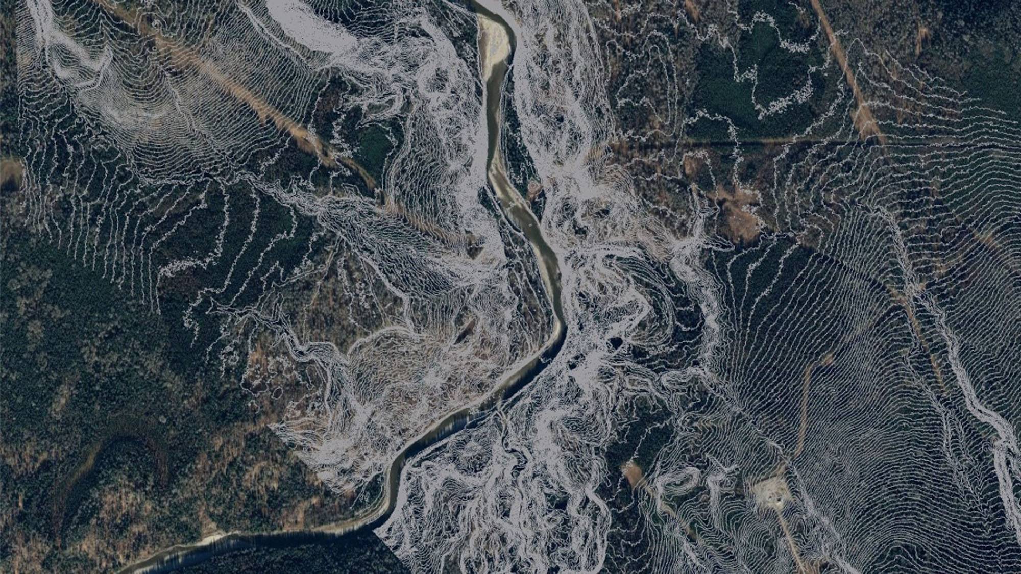
CCI employs professionals who are well versed in using powerful software. Using ArcGIS ESRI, CCI can layer critical information into detailed maps providing our clients with strong visual information necessary for Terrain Stability Analysis (TSA), Geohazard Susceptibility Assessments, and Terrain Mapping.