Tsuut’ina Nation Community Fireguard Construction
Project Timeline – 2020 through to 2021
Contract Value - $104,000
Project Overview
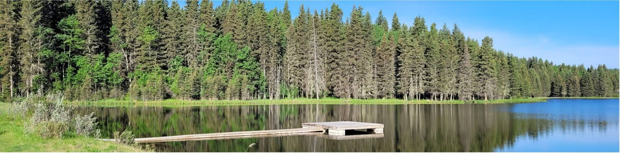
The Tsuut’ina Nation No. 145 is approximately 29,500 ha in size, with a population of roughly 2,000 people. Bordering the west side of the City of Calgary, the Nation extends south to the MD of Foothills, north to Rockyview County, and west just beyond the community of Bragg Creek. A large portion of the reserve is forested, with over half the area being grass-type fuel.
A FireSmart Community Plan (FCP) was put in place along with a Wildfire Preparedness Guide and Wildfire Mitigation Strategy. Part of the FCP is the identification of FireSmart activities reduce risk and hazard of wildfires, while also improving wildfire response for the surrounding communities. Since the Nation contains high risk areas, a Wildfire Mitigation Strategy (WMS), Wildfire Preparedness Guide (WPG) were developed. Hazard and risk assessments were completed by Wildfire Specialists from CCI, using data available from Alberta Agriculture and Forestry (AAF) and other ArcGIS datasets. By completing the WMS with input from community leaders and stakeholders, CCI not only reduced the threat of wildfires, but also increased public communication and information. The WPG included a detailed plan for fire operations, including a sprinkler deployment plan. Values-at-risk were assessed from information available via ongoing home assessments, Tsuut’ina administration and ground reconnaissance.
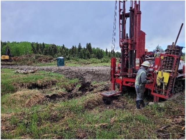
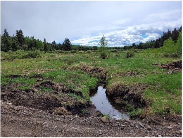
The FireSmart treatment area within the Tsuut’ina Nation lands included approximately 105 ha. CCI’s scope of work included the following 3 phases:
- Planning including communications and education with the tribal council, project partners and Government officials as well as field visits, including project layout.
- Operations including addition of access roads, tree harvest, and ground treatment. A permanent, all-weather road was implemented for yearly access for the surrounding community. The cleared area was prepared for future grazing through the addition of fences, dugouts, and seeding to grass.
- Final reporting including GPS and GIS reports.