Stoney Nakoda Nation - Morley Reserve FireSmart
Project Timeline – 2020 through 2021
Contract Value – $806,520
Project Overview
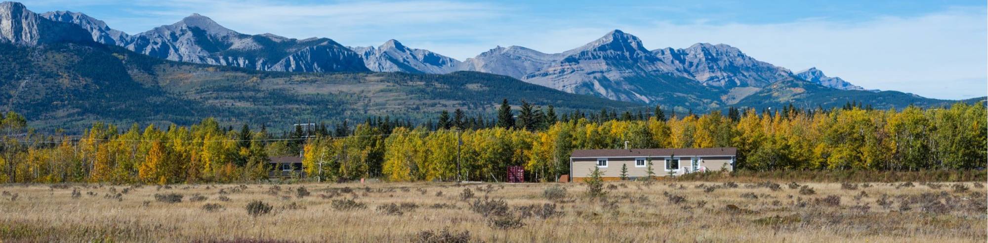
The Stoney Nakoda Nation is made up of three bands; Bearspaw, Chiniki and Wesley occupying four reserve areas: Eden Valley, Morley, Rabbit Lake and Bighorn. The Director of Emergency Management and Services for all bands and reserves has spearheaded a FireSmart committee made up of elected band members, staff and fire experts from the Government and private industry. The group, and the Chief’s of the three bands have agreed that fireguards in several locations within the Nation are priorities to keeping the surrounding communities safe.
The areas of concern that were treated through firesmart procedures throughout this project included 240 ha of high risk land on the Morley reserve adjacent to the Town of Cochrane, and 120 ha on the Bighorn Reserve adjacent to the community center and school.
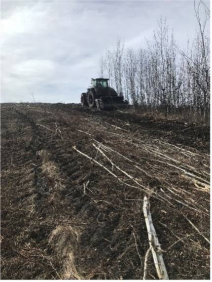
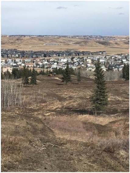
Wildfire risk will be reduced in these areas through the removal of high-risk standing timber, adding access roads to allow for easier grazing, grinding of woody debris to reduce ground fuel, incorporation of woody debris into soil for future grazing benefit, fencing, and the addition of dugouts for livestock water supply. The project also encompassed smaller areas of fuel reduction for the Main Stoney Nakoda Nation. Areas included 13.6 ha at the Nakoda Lakeside Lodge, 4.4 ha at the Morley Band Facilities and Infrastructure and 3.9 ha around the Chief Chiniki Travel Centre.
In these areas, CCI developed fuel management prescriptions and supervised fuel mitigation activities included 13.6 ha at the Nakoda Lakeside Lodge, 4.4 ha at the Morley Band Facilities and Infrastructure and 3.9 ha around the Chief Chiniki Travel Centre. In these areas, CCI developed fuel management prescriptions and supervised fuel mitigation activities.
The treatment areas within the Stoney Nakoda Nation range from 3.9 ha to 240 ha. CCI’s scope of work included the following 3 phases:
Phase 1: Planning, including communication and education with tribal council, project partners and Government, and field visits including layout.
Phase 2: Operations, including addition of access roads, tree harvest, fencing, digging dugouts and seeding.
Phase 3: Final Reporting, including GPS/GIS reports.
Future Phases include Land Use Management Plans, and addition of cattle for land management via grazing.